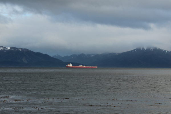
Still one of the moste remote free treks in South America, the trail to Cabo Froward will soon be corrupted by new coastal road that is currently under construction. I tried the trail myself in late 2015 but had to turn back early because of bad wheather. The first part of he trek leads from Rio San Pedro a small fishing village south of Punta Arenas along the magellane strait to the last occupied Lighthouse on South American mainland called Faro San Isidro. The whole trail follows the coast and is easy to walk. You can reach Rio San Pedro either by car or by public bus from Puna Arenas for about 900 chilenian pesos. During the main season there is a hostel near the lighthouse, you could stay at for a night. After the light house you will have to resort to camping in the wild.
The trail furher leads into the forest to avoid the cliffs along the coast. The trails are very badly marked so it is advised to carry a detailed map an compass with you. It isnt to hard to navigate though, since to can always make out where the coast is. The trek takes you through cold damp swamps, rocky coasts, thick forests and even an abandoned house of earlier settlers. When crossing streams coming down from the mountains and glaciers it is advisable to consider high and low tide. The melt water is extremely cold and the wheather unpredictable so if you slip it could pull you out into the open sea. To get to the Southern Cross "Cabo Froward" you will have to climb a rather steap trail of about 150meters hight. The big metal cross marks the end of the trek and you will have to turn back the same way you came from.
Along the trail you will find lots of edible berries and fresh drinking water streams running into the ocean. Shellfish and muscles are not edible along the magellane srait. You will most likely see dolphins, maybe even whales swimming along the coast. In the forests you might come across a fox or small rodent, but no big animals. Hundrets of different bird species will keep you company all day long.
Check out my photo gallery of the trek >
Map
Check out the trail on WikiTravel
